


Park Fire firefighters will start seeing better firefighting conditions as the 429,263-acre fire, which grew four acres from the morning operational meeting, is now 38% contained.
According to Cal Fire, heavy dead fuels burned out, and interior islands continued through the night. The fire remained confined within perimeter lines overnight, although Monday wind had the potential to challenge containment lines.
Cal Fire said that there will be incremental improvements in weather, with slightly cooler weather and higher humidities trending and will continue this week.
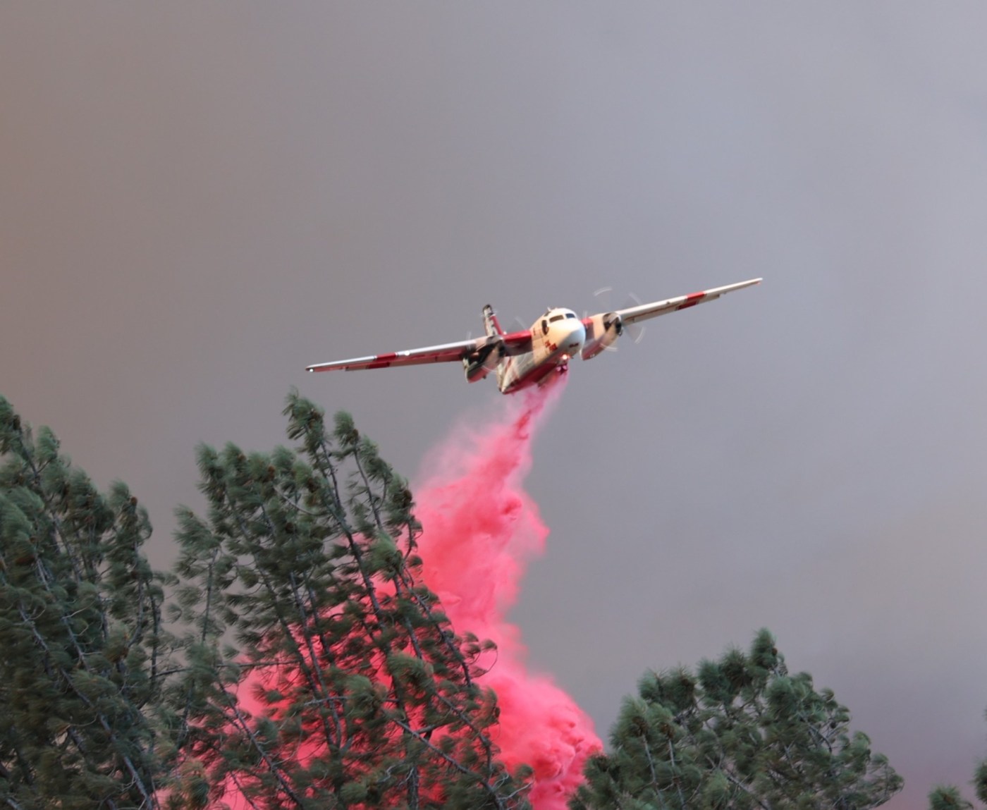
In the Lassen National Forest, firefighters held the fire within the current perimeter using direct attack on any flames near control lines supported by night-capable aircraft. An extensive “hose lay” is in place, extending the hose from the engine to the fire, allowing the delivery of water safely and effectively to aid firefighters.
The fire has burned 113,736 acres in the Lassen National Forest and more than 376,000 acres in Tehama County.
In Butte County, the Highway 32 area from Forest Ranch down to Chico along with Cohasset will be turned over to from Cal Fire’s incident command team to Cal Fire-Butte County on Wednesday.
Road Closures
Highway 36 from Little Giant Mill Road to the intersection with Highway 89 South in Plumas County.
Highway 89 through Lassen Volcanic National Park.
Highway 32 between Platt Mountain Road and Lomo in Butte County.
Highway 32 between the Butte/Tehama county line and Highway 36 in Tehama County.
Highway 172 in Mineral, Tehama County.
Plum Creek Road in Paynes Creek, Tehama County.
TCSO reduces some orders to warnings
The Tehama County Sheriff’s Office announced late Monday morning that the following zones in the Park Fire footprint have been reduced from evacuation orders to evacuation warnings: 722, 724, 696-B, 696-C, 720-D and 726-A.
These zones are along the southeast and southwest sides of the fire footprint (along Highway 32 and the Butte County line and areas extending east of the Vina Planes and east of Dairyville).
The following zones have been reduced from warnings and returned to “normal”: 694-B, 694-A, 498-E, 498-B, 496-F, 496-B, 500, 466-C, 466-D, 468, 466-B and 466-A. These areas are primarily the west edge of the fire footprint.
The TCSO asks residents to exercise caution when re-entering areas that have experienced fire activity, as fire equipment and workers may still be present.


+ There are no comments
Add yours