


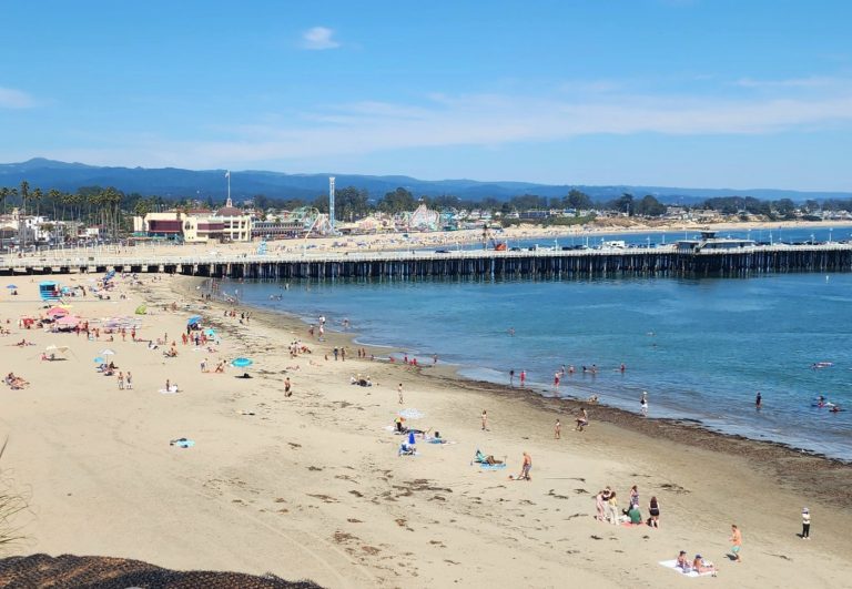
Though short-lived, Tuesday’s bright blue skies served as a preview for what’s to come in the Bay Area for the remainder of the week — after Wednesday’s storm brings moderate rain across the region.
The system of showers was expected to touch down Tuesday night and continue throughout much of Wednesday, according to the National Weather Service. NWS meteorologist Rick Canepa said the midweek storm will not be nearly as significant as the one that arrived Sunday and Monday.
“It’s not expected to be as strong and not the same type of rain producer as we saw (earlier),” Canepa said.
Another round of rain is expected late Tuesday night into Wednesday. This is a much weaker system with only minor impacts expected. The greatest focus will be along the coastal ranges with lesser amounts in the rain-shadowed valleys. #CAwx pic.twitter.com/pZWq7uFCjK
— NWS Bay Area (@NWSBayArea) January 23, 2024
NWS projections as of Tuesday showed less than one-half of an inch of rain headed for San Francisco and Oakland and no more than two-tenths of an inch forecast in San Jose, Concord and Livermore. Though the early-week storm saw some flooding impacts, none were anticipated for the Wednesday storm.
Related Articles
Bay Area weather: How much rain did we get?
4 Bay Area itineraries for the perfect rainy day — like today
Bay Area gets brief break to dry out before next storm arrives late Tuesday
More rain in the Bay Area, snow in Tahoe before a return to drier weather
Thunderstorms Sunday? There’s a chance. More heavy rain forecast for Bay Area, feet of snow for Lake Tahoe
Fallout from the heavier rainfall on Sunday and Monday carried into Tuesday in the Santa Cruz Mountains. According to the Santa Cruz office of the California Highway Patrol, portions of Soquel San Jose Road, Empire Grade, Felton Empire Road, Freedom Boulevard and Highway 9 were each closed into Tuesday morning due to mudslides or downed trees.
Those difficulties were caused by high rain totals that gathered in a short time frame. NWS 72-hour rain totals from noon Friday to noon Monday included 1.84 inches in San Jose, 1.74 in San Francisco, 2.04 in Palo Alto, 2.39 in Oakland, 3.37 on Mount Diablo and 7.54 on Mt. Tamalpais of the North Bay.
After Wednesday’s rainfall, which was forecast to end by the late evening hours, some patchy fog could linger Thursday morning. But once that fog clears in the afternoon, a mostly sunny forecast was expected the remainder of the week, according to the NWS.
In the greater Lake Tahoe area, the NWS anticipated “several” inches of snow to arrive Wednesday in the range of 6,500-to-7,000 feet in elevation. Forecasters hesitated to call the upcoming snow a big storm, but wind gusts of more than 60 miles per hour could cause complications with travel during the peak of the snowfall, which was expected to land Wednesday afternoon.


+ There are no comments
Add yours